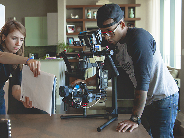
Present-day technology like aerial photography has made strides we’ve never seen before. It’s making everything around us easier to manage and in some way, control. While most of us see aerial photos being taken during a wedding, a birthday, a corporate event, in movies, and in commercials, this technology has actually been around us even before the conception of unmanned aerial vehicle or drones.
Aerial photography has been used for security purposes and surveillance since the inception of cameras. It has been used to fight crimes, survey terrorists, and draw maps and geographical landscape. It is also being used for environmental studies, public health policing, and land use planning.
But more than anything else, aerial photos are being widely used to survey and monitor disasters. From wildfires in California to tsunamis in Indonesia and Japan to typhoons in the Philippines, aerial photos have made strides in making sure that the emergency team knows what to expect when they enter disaster areas.
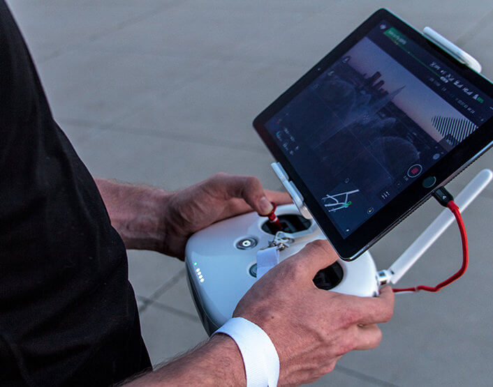
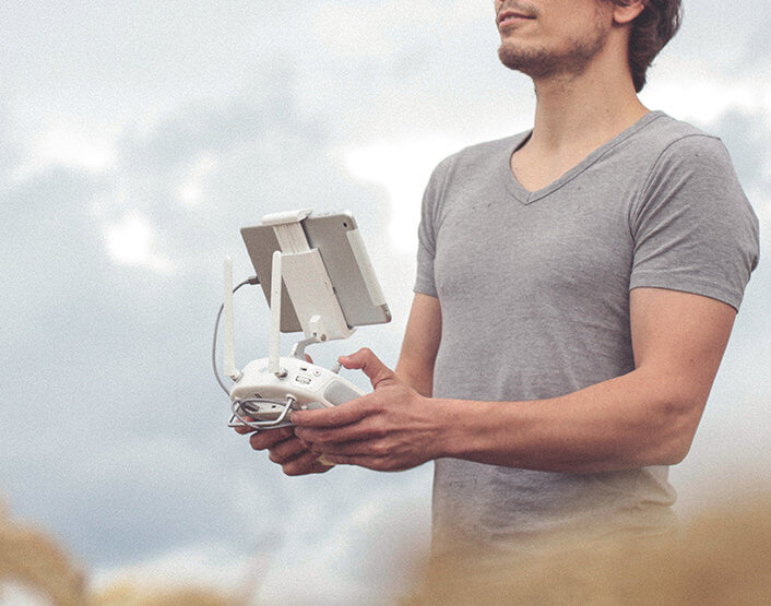
Though helicopters and other manned vehicles are still the most obvious choice when monitoring the effects of a natural disaster in an area, unmanned aircraft like the drones still make a pretty good impression and a case for themselves.
It is safer to take photos using remote controls, right? Instead of sending a team of news reporters in helicopters to take photos of the disaster below, media outfits are now sending high-tech drones to take video and photo footage of what’s happening on the ground.
Emergency teams also use aerial photos to map out their plans and their routes. Instead of blindingly entering a disaster-prone area and putting themselves in danger, the emergency response team members can send out reconnaissance first and survey the roads and highways they can take.
This is especially important during typhoons that caused great flooding in an area. They have to know where the people (and even pets) are and where they can take them to safety.
During wildfire disasters in California, aerial photography also played a crucial role. By taking photos of what’s happening, disaster response teams can make appropriate actions. Through the photos, they can see where the fire is headed and what establishments, whether public or private, are on its path.
Not only do aerial photos save these people a lot of time and energy, but they also keep them safe by letting them know which routes to take and which streets and highways are unsafe to pass through.